
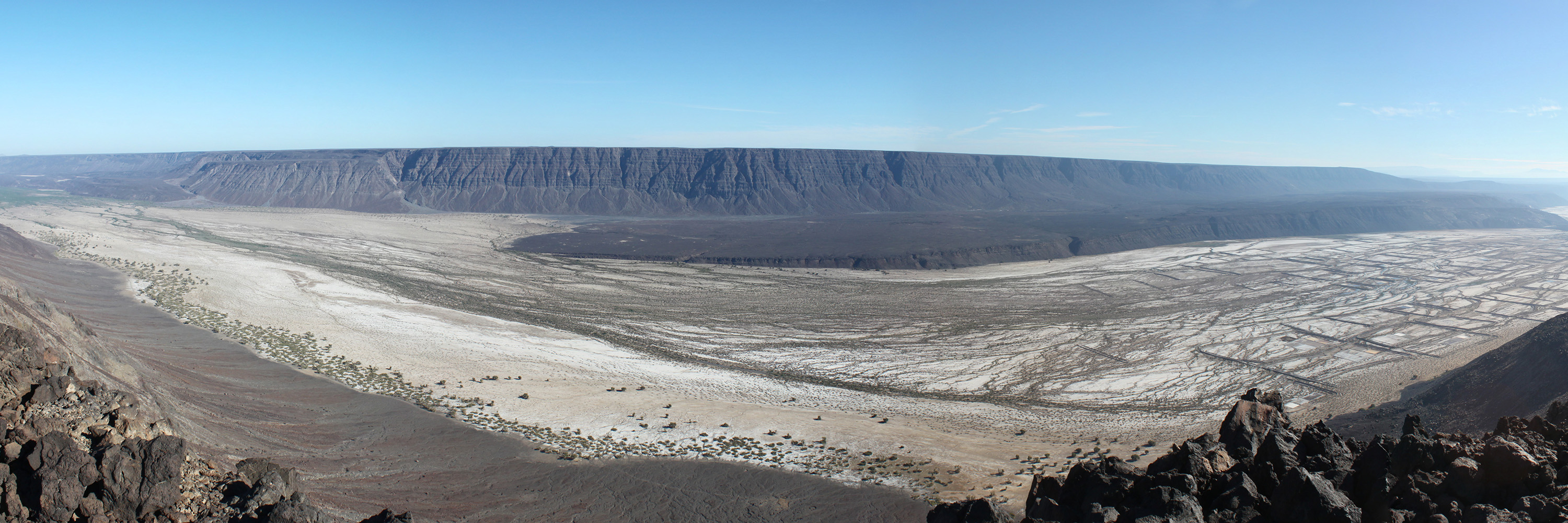
Small unmanned aerial systems (sUAS, a.k.a., "drones") have become widespread tools for many types of geological studies.
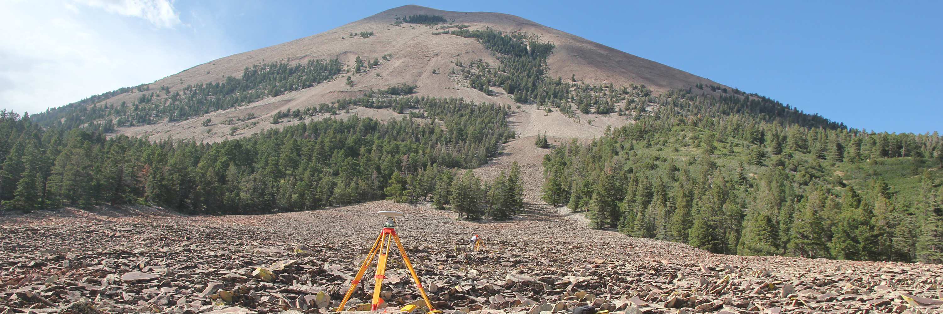
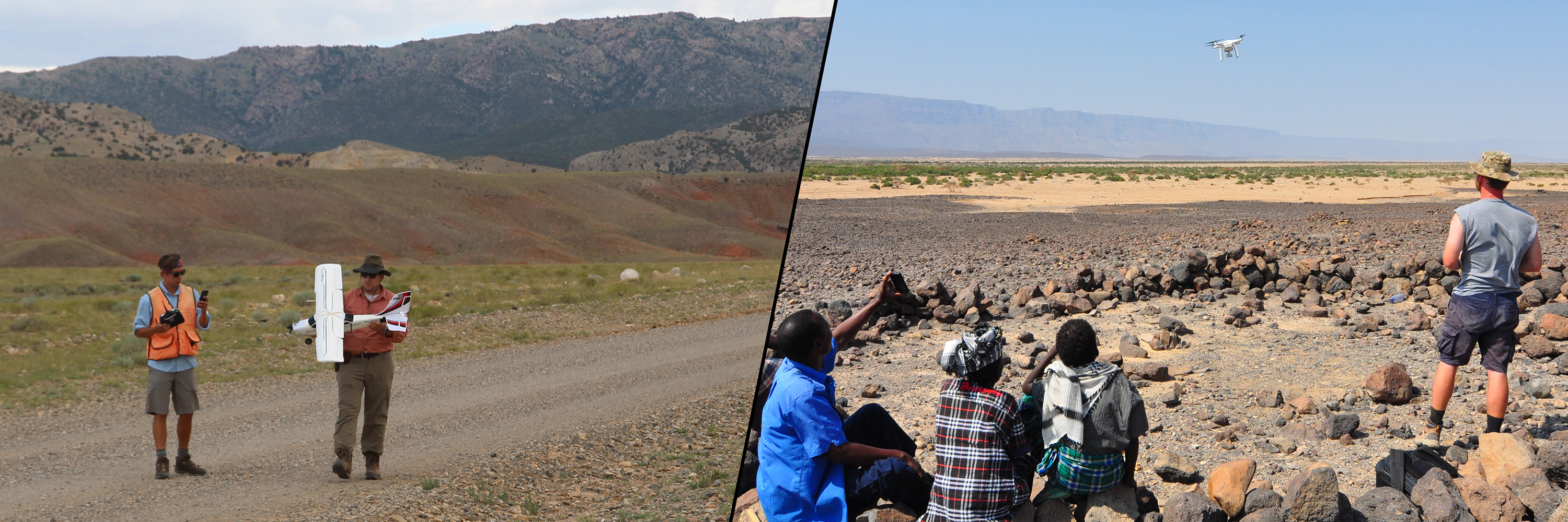
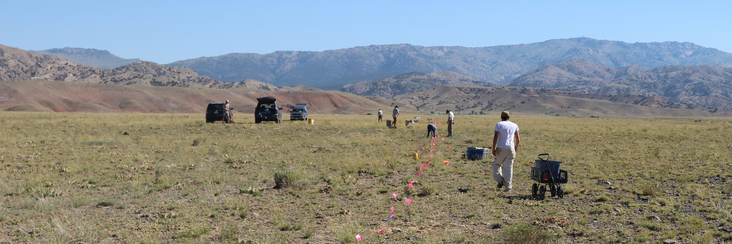
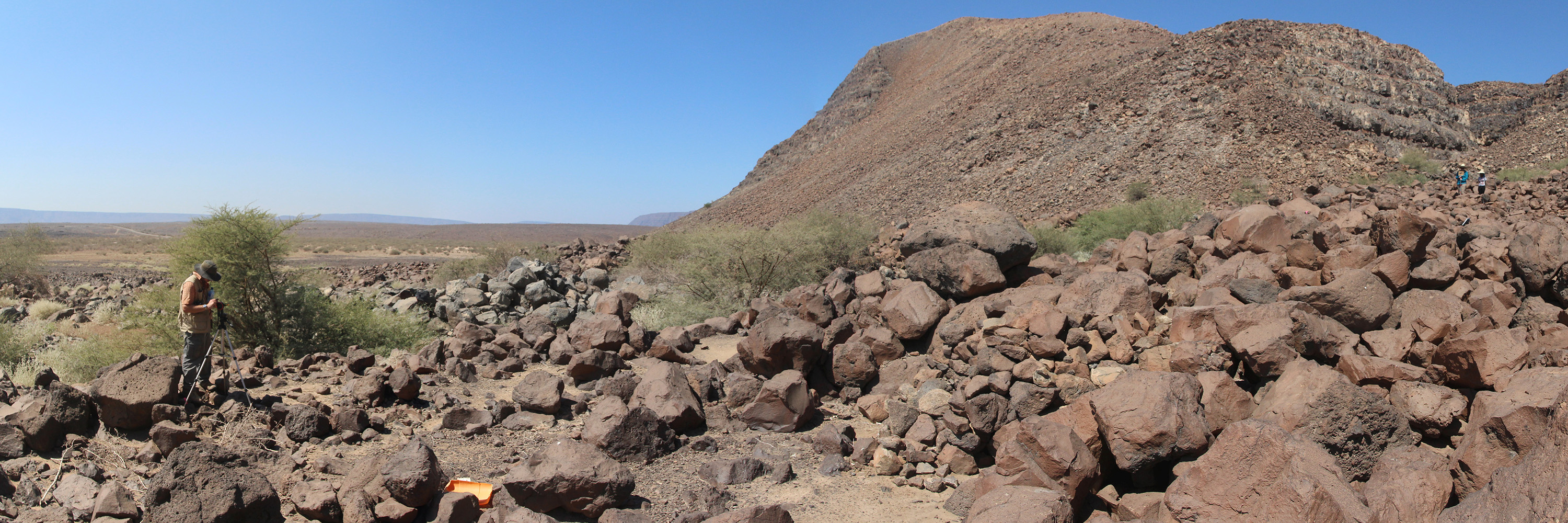
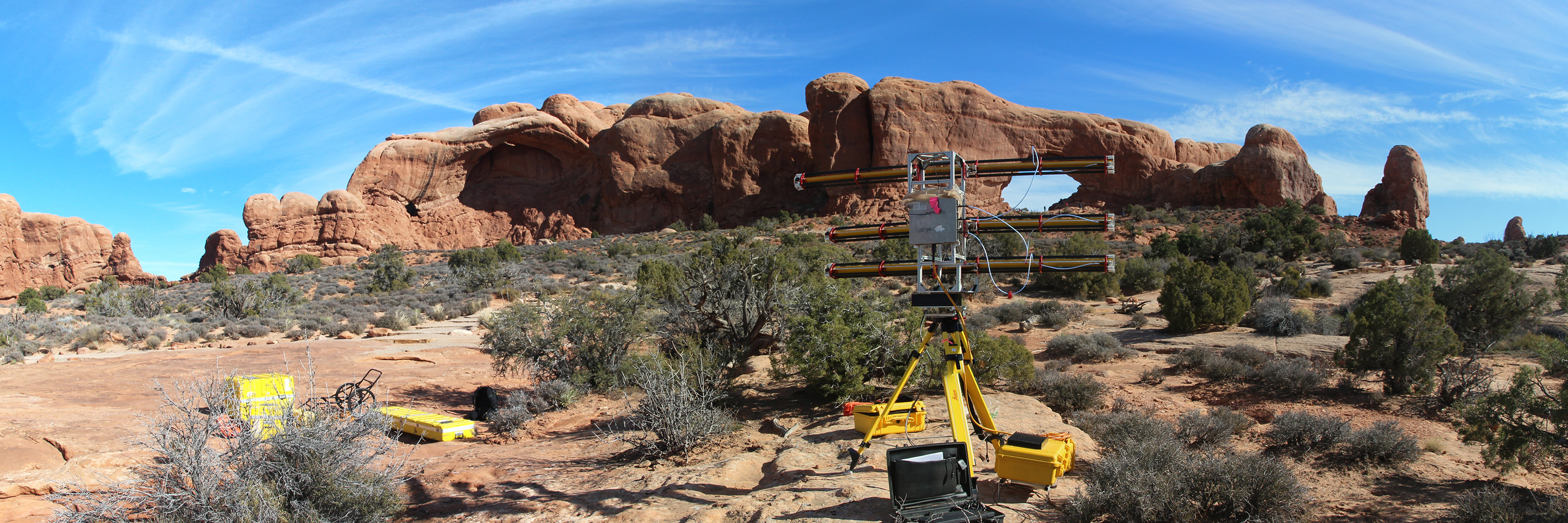
For over a decade, our research group has worked with close-range photogrammetry (ground-based and aerial) and aerials systems, starting with kites. We currently have a range of aerial systems including various kites (with picavet rigs), a 3-cubic-meter aerostat, several fixed-wing aircraft, and a number of multi-rotored aircraft (off-the-shelf and self-builds). In addition to aerial cameras, we also have capabilities with radiometric thermal imaging and LiDAR.
I, as well as some others in my research group, maintain a FAA Part 107 sUAS certification.
This page is still under construction and will hopefully be updated soon (as long as I don't forget about it!). Thanks for our patience, but feel free to contact me (Paco Gomez), if you have any questions.